Arcadia Data just launched fast, flexible maps for their big data intelligence (BI) platform. Arcadia Data’s new Mapbox integration unlocks granular geospatial visualizations and analysis for global-scale data to support many different use cases such as IoT analytics, climate analysis, disease tracking, and fleet management.
“Geospatial visualizations were previously limited by traditional technologies that could not scale to the data volumes that enterprises require today,” said Priyank Patel, Co-founder and Chief Product Officer of Arcadia Data. “The Arcadia Data and Mapbox integration changes all that.”
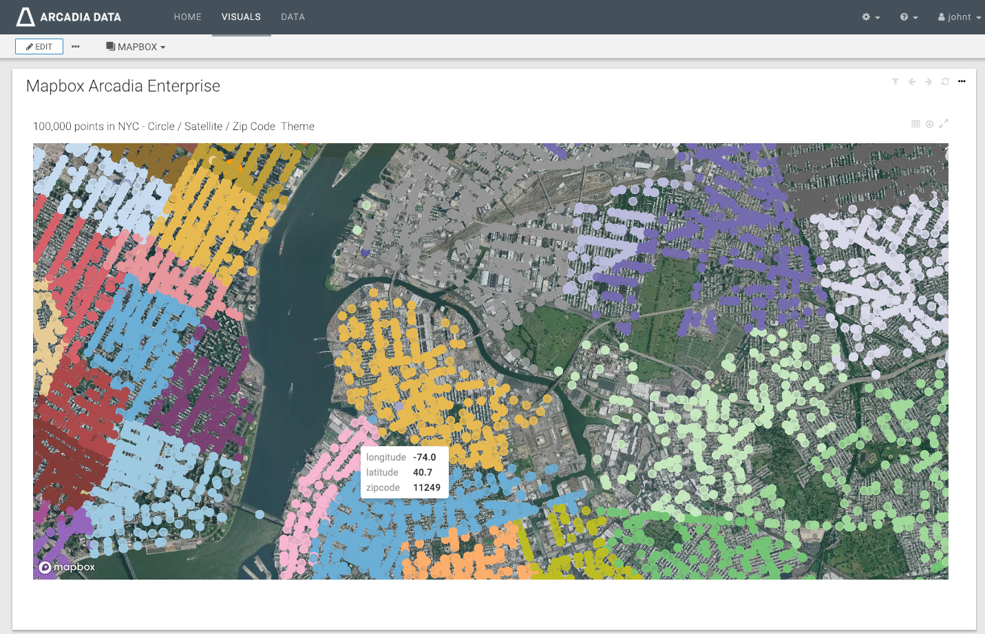
Location is an increasingly important attribute of operational datasets. According to Gartner, 30% of customer interactions will be influenced by real-time location analysis by 2020, up from 4% in 2017.”1 Arcadia Data’s platform lets its customers leverage this proliferation of sensor data to answer business questions like, “What is the on-time performance of my delivery fleet?” and “In what cities are my cellular customers experiencing dropped calls due to high user volume?”
Mapbox helps Arcadia Data customers view these continually-changing metrics on real-time maps using data streaming tech like Apache Kafka. Arcadia Data users can also add custom geographic shapes or leverage dozens of visualizations like heatmaps to give their data context.
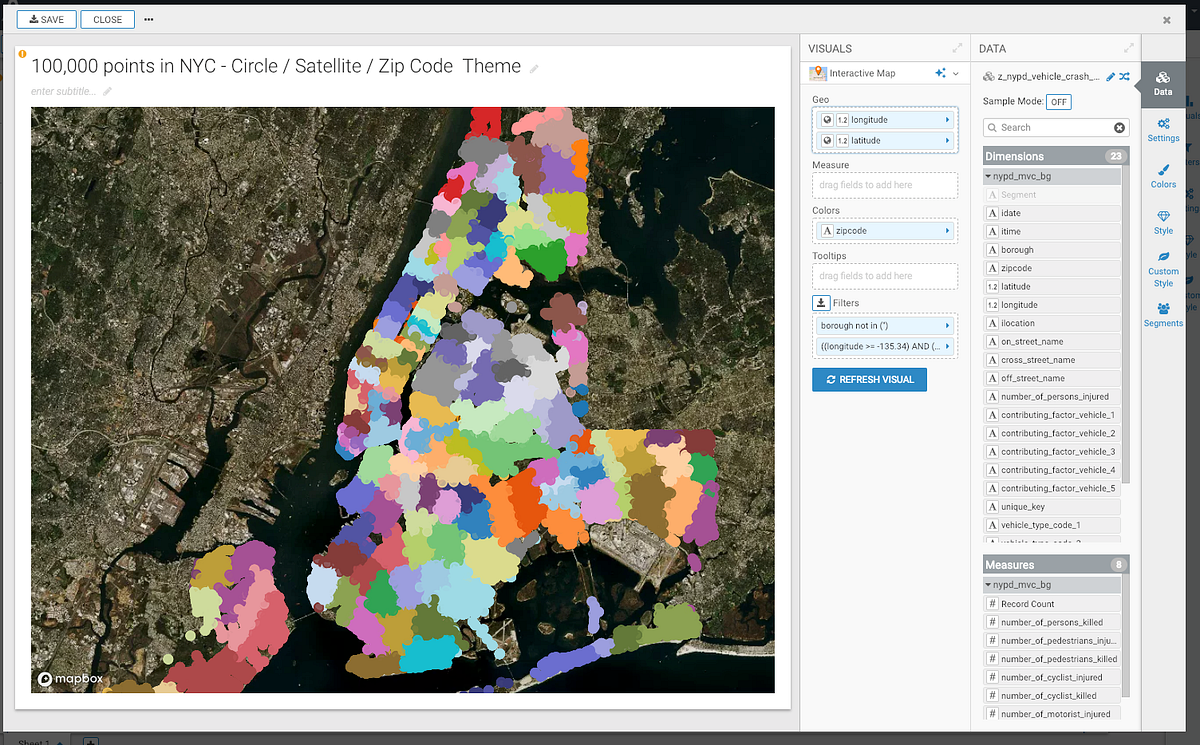
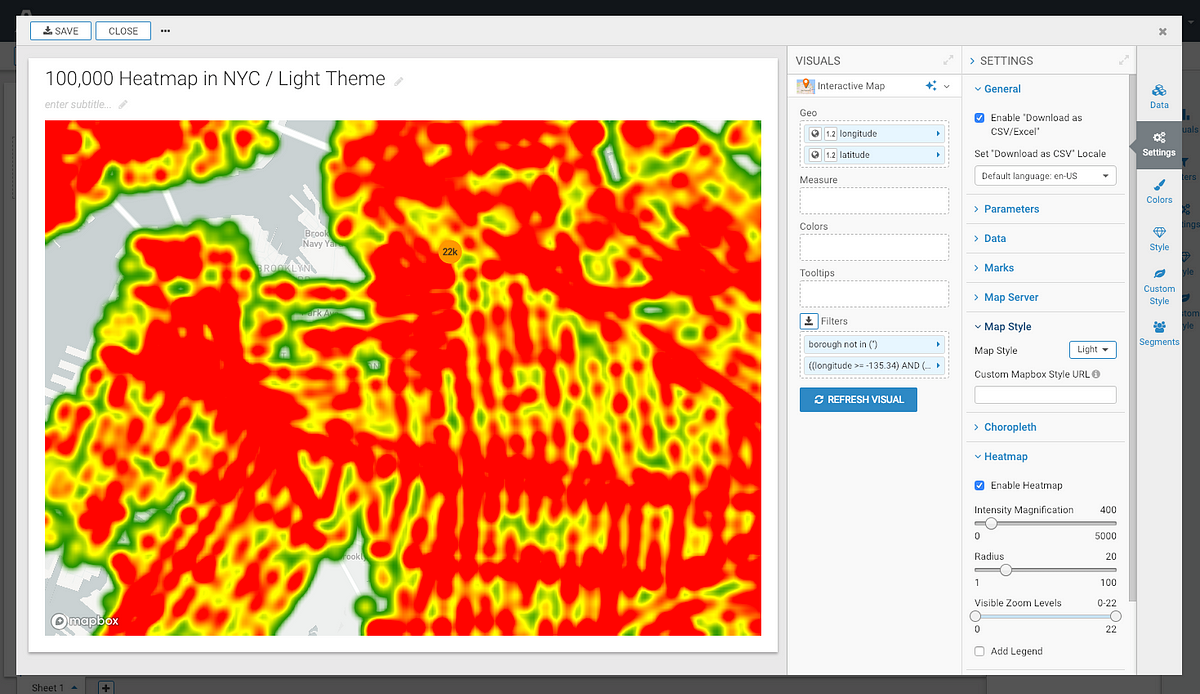
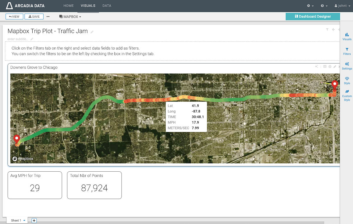
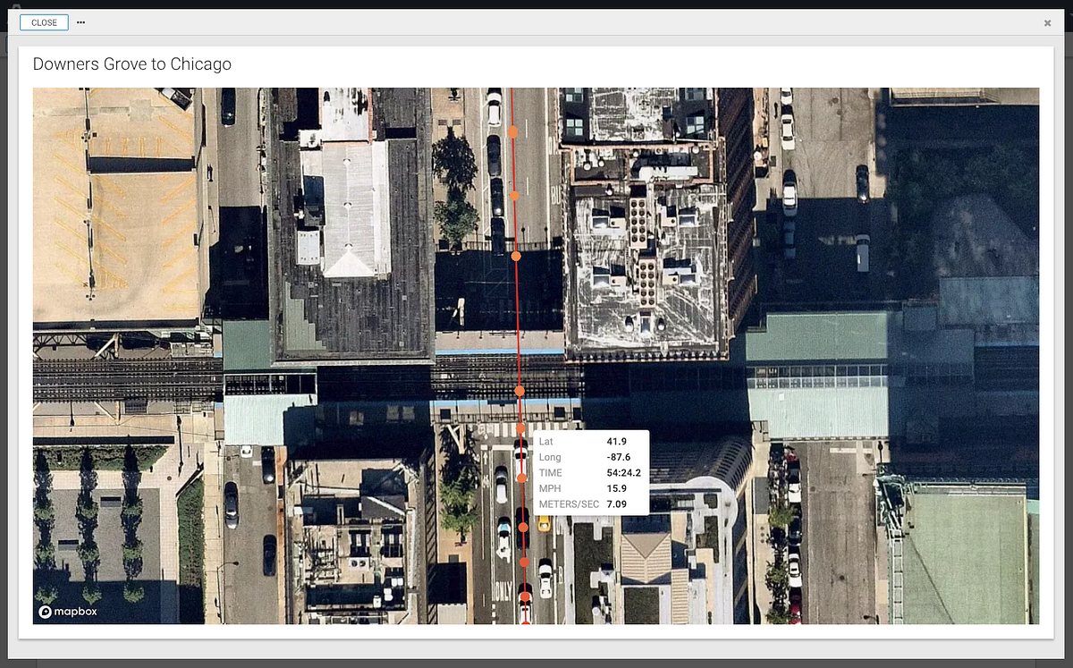
To learn more about this integration and get started using Arcadia Data’s geospatial analysis tools, check out the video here.
Source: https://blog.mapbox.com/fast-flexible-maps-for-arcadia-data-ba8dbbdbd215
Written by
Mapbox
We are a location data platform, changing the way people explore the world.
Points of interest
The official Mapbox blog