The race to win the trillion dollars no blinking contest
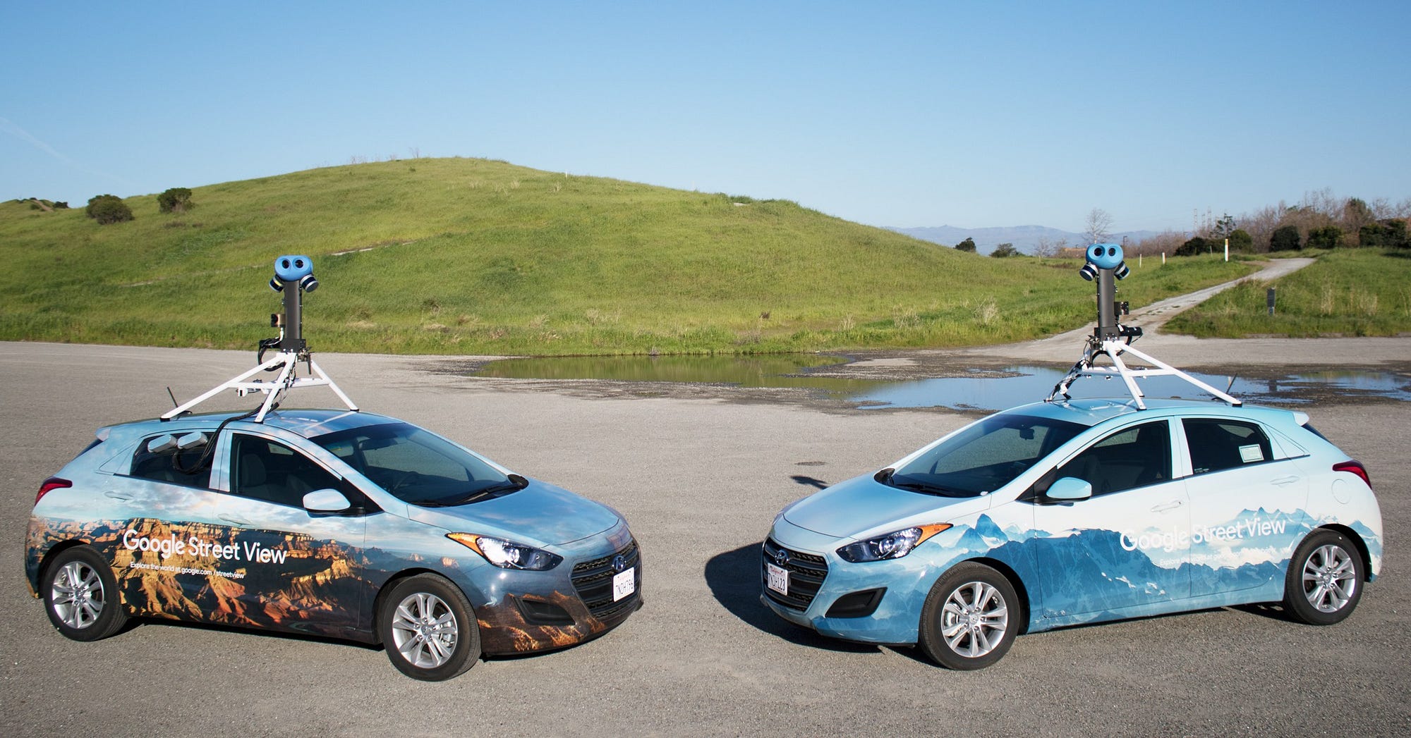
In 2001, a Stanford professor and a couple of his prodigies drove over to meet Larry Page and Sergey Brin for a secret coffee meeting. The co-founders of Google had an idea: what if you could teleport onto any road in the world?
Six years later, Sebastian Thrun and his team of Google Earthers launched Street View, but, for them, looking through a screen wasn’t good enough. They didn’t want to travel to a street thousands of miles away digitally, they wanted to be driven there.
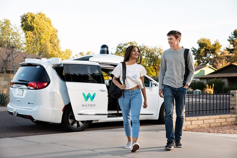
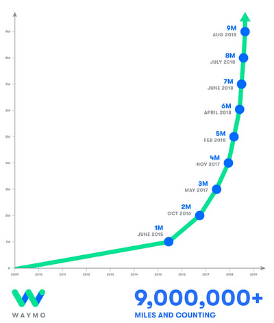
Since then, a full decade has passed and the Google Self-Driving Car Project, now Waymo, is about to allow the public to do just that. After hundreds of thousands of lines of code were written to recognize double yellow lines and pedestrians, millions of miles were driven in real life to perfect their left turns, and billions of miles of ground were covered in simulations, Waymo’s suped-up minivans are ready to drive themselves — well, at least in Phoenix.
Even with crazily advanced sensors and highly detailed cameras strapped to their autonomous cars, Waymo’s not quite ready to let them ride freely in New York City — or any other city for the matter. Rain, snow, or even time-aged roads can effectively blind their cars.
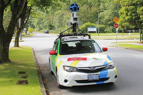
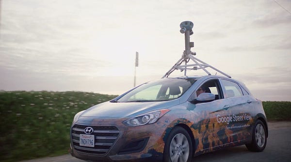
That’s why Street View cars have been completely revamped. They still have cameras, but they’re also fitted with lidar sensors, the eyes of self-driving cars, which create 3D models of the world they’re driving by.
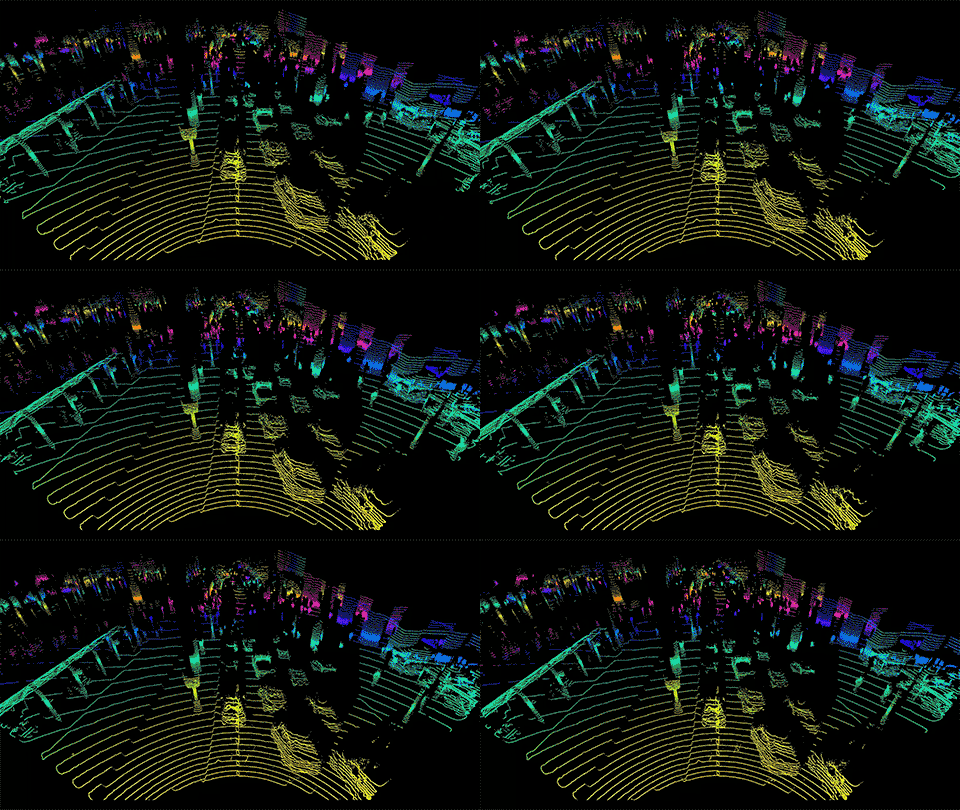
These “point clouds” allow a self-driving car to understand not just what objects look like, but where they are and how they’re shaped. Curbsides, orange cones, traffic lights, easy. Pedestrians, cyclists, other vehicles on the road, done.
By having a 3D map of the city they’re driving through in advance, Waymo’s cars can focus less on double yellow lines and crosswalks they already know are there and more on what they don’t — like pedestrians and cyclists.
Another benefit: Waymo’s cars will be able to drive anywhere, regardless of the weather, as they’ll already know where important road features are and where they can drive. When rolling towards a stop sign covered in snow, a Waymo car will see the red paint just as clearly as a Street View car did when it rolled by and captured it on a sunny day.
However, while you can access Street View 2D maps for free, these 3D maps are a highly valuable, sought after, and private hot commodity. Deepmap, a 3D mapping startup, has raised around $100 million to handle mapping highways with their own LiDAR-toting testing vehicles. Civil Maps, another startup doing the same, has an investor list that includes Ford.
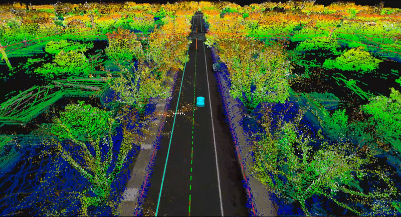
To expand into more and more cities, other self-driving startups like Zoox, Cruise, and drive.ai will have to either create their own or utilize startups like Deepmap’s detailed maps. The lack of virtual infrastructure could easily be the only thing holding AV’s back from expanding into your own hometown. As the race to ditch steering wheels gets closer to reality, the demand for maps will become even higher.
Google’s Street View infrastructure puts it at an advantage, covering every major city — and country — on the planet. As the entire world is mapped once again, Street View will pave the way for Waymo to launch in one city after the next. Even though they have a head start, it will truly be the most efficient and effective mapper that will take home the gold.
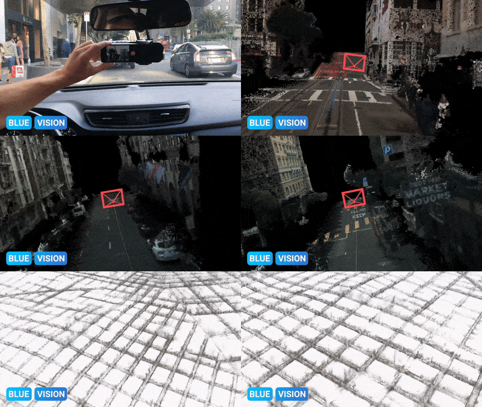
Lyft’s recent acquisition of Blue Vision shows that the young and hungry competitor doesn’t want to be left behind. Instead of using lidar, Blue Vision’s tech uses a smartphone’s camera and GPS for its mapping needs. Now with an army of Lyft drivers at its beckon call, Blue Vision is in an optimal position to succeed. Equipped with Blue Vision dash-cams, Lyft drivers across the country will be mapping streets, crowdsourcing accurate data at the same speed or even faster than Google.
“The amount of data you have affects how much you can rely on your system. What our tech allows us to do is to utilize Lyft’s fleet to train the cars. That is really game changing.” — Peter Ondruska, CEO of Blue Vision.
Soon, 3D cartographers could each be claiming their own cities, VC’s will be pouring money into the ones they think have a competitive advantage, and AV startups will either have to pay up or buckle down.
With an entire sub-market of mapping startups coming about, the self-driving industry could be valued even higher than it is currently. Recently, it was projected to be worth $5 trillion by 2030. With Morgan Stanley already valuing Waymo at $175 billion, the Google Street View cars could drive it up to #30 on the Fortune 500 in only a couple of years.
A new market is emerging that could be worth trillions, but in reality, we’ll just have to wait and see, literally.
Written by
Theo Strauss
17. Writing about the design of the future and the future of design. Creating @ theostrauss.com and founding @ towerhigher.com.
The Startup
Medium’s largest publication for makers. Subscribe to receive our top stories here → https://goo.gl/zHcLJi