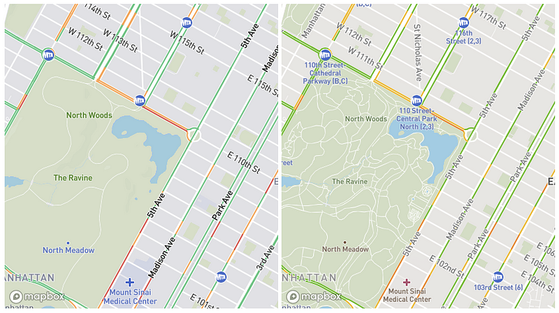
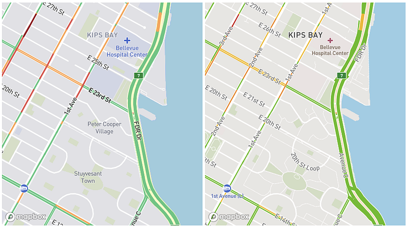
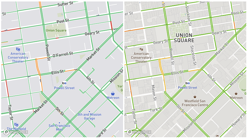
Our new traffic maps are live in our API. Take a look at the changes we’ve made to our traffic cartography in these side by side images:
Improved color classification for live traffic
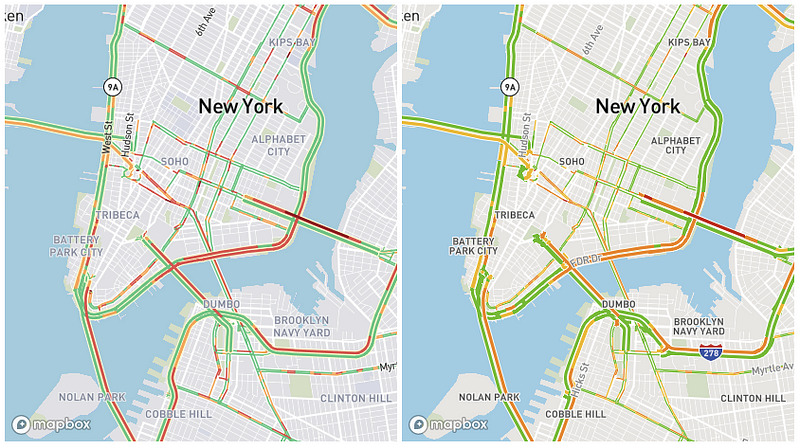
We shifted the spectrum of traffic colors from green/yellow/orange/red to green/orange/red/dark red for easier recognition, and increased color contrast for improved color-blind support. Since colors vary widely across devices (particularly between iOS and Android devices), we tested for adequate visibility on widely differing screens.
Road separation at junctions
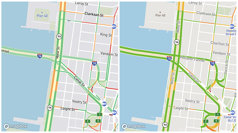
Traffic lines are now separated into surface roads, bridges, and tunnels, with differentiated styling for tunnels. At each junction, it’s now much easier to identify which roads intersect and which overlap.
Improved density and hierarchy of traffic data
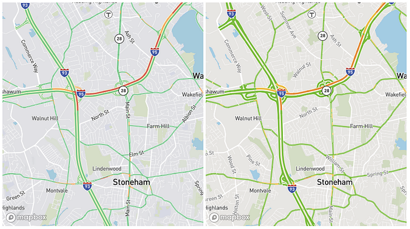
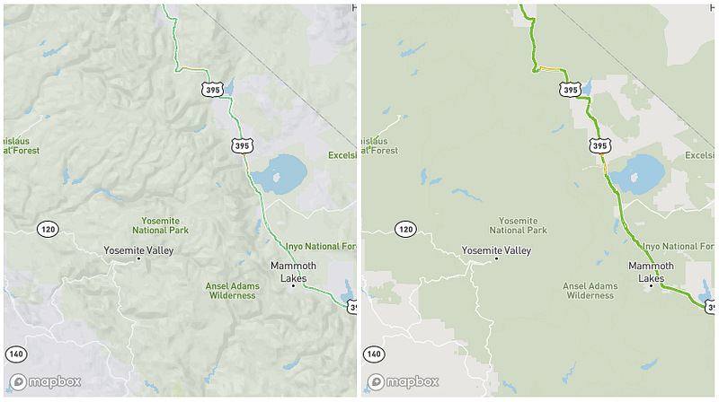
At each zoom level, we adjusted the density and hierarchy of traffic data for different road classes, and refined the styling — particularly line widths, offsets, and outlines — of both the traffic lines and underlying roads. This improves a variety of map contexts, including:
- Highway intersections: thinner highway links no longer obscure motorways and trunks
- Dense urban grids: major road networks are now more prominent
- Town centers and remote areas: main roads that lead into these areas are visible at lower zoom levels
More focus on vehicular roads
To reduce visual noise, we removed networks that are not relevant for drivers: pedestrian roads, paths, aerial ways.
Improved legibility of high zoom level labels
We made high zoom level labels (particularly road labels) larger and higher contrast to be more readable against the traffic data, especially when viewed in natural light.
Relevant secondary map features
In this update, we refined secondary features to complement and enhance the usability of traffic data, rather than compete with them. We added terrain and parking landuse, and removed all minor POIs unrelated to navigation.
We also simplified the color scheme for secondary features: most high-zoom-level features — including landuse, buildings, points-of-interest, and minor places — are on a spectrum from blue to gray, based on a consistent hue.
More legible ‘Night’ color scheme for nighttime use
We’ve improved the color scheme of our companion ‘Night’ traffic map to be much more comfortable on your eyes and more readable in low-light contexts.

Login to Studio to start building with our new traffic styles, and stayed tuned for more updates!
Source https://blog.mapbox.com/designing-live-traffic-a30a3bae163e
Written by